King's School Dovecot
Introduction
The photograph on this page of King's School Dovecot by Graham Horn as part of the Geograph project.
The Geograph project started in 2005 with the aim of publishing, organising and preserving representative images for every square kilometre of Great Britain, Ireland and the Isle of Man.

There are currently over 7.5m images from over 14,400 individuals and you can help contribute to the project by visiting https://www.geograph.org.uk
King's School Dovecot
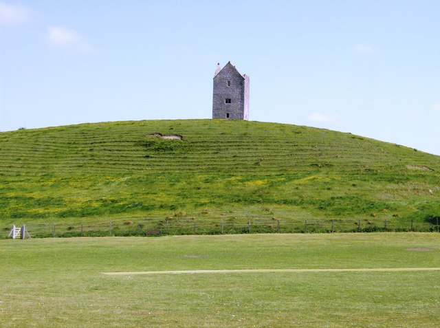
Image: © Graham Horn Taken: 4 May 2007
From Godminster Lane looking across the cricket pitch. The earthworks of part of the abbey grounds can also be seen.
Images are licensed for reuse under creativecommons.org/licenses/by-sa/2.0
Image Location
Latitude
51.107926
Longitude
-2.453323