Heol Pendyrus, Penrhys
Introduction
The photograph on this page of Heol Pendyrus, Penrhys by Jaggery as part of the Geograph project.
The Geograph project started in 2005 with the aim of publishing, organising and preserving representative images for every square kilometre of Great Britain, Ireland and the Isle of Man.

There are currently over 7.5m images from over 14,400 individuals and you can help contribute to the project by visiting https://www.geograph.org.uk
Heol Pendyrus, Penrhys
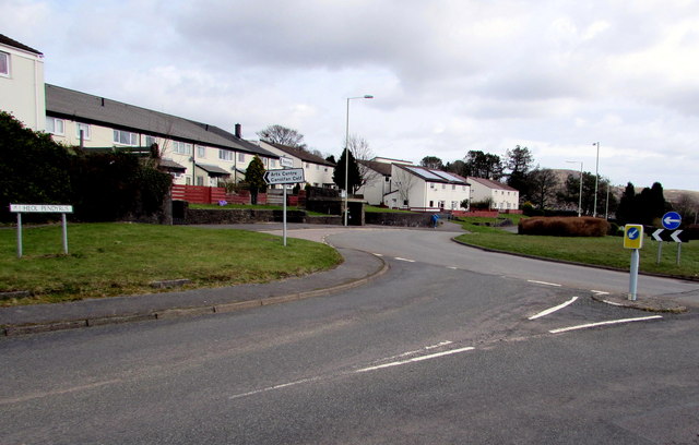
Image: © Jaggery Taken: 30 Mar 2015
Heol Pendyrus is the outer circular road around residential Penrhys. Here, Heol Pendyrus approaches the roundabout at the B4512 Penrhys Road junction. The black arrow on a sign points left towards the Arts Centre.
Images are licensed for reuse under creativecommons.org/licenses/by-sa/2.0
Image Location
Latitude
51.641764
Longitude
-3.44379