Dukes Road, Lindfield
Introduction
The photograph on this page of Dukes Road, Lindfield by Simon Carey as part of the Geograph project.
The Geograph project started in 2005 with the aim of publishing, organising and preserving representative images for every square kilometre of Great Britain, Ireland and the Isle of Man.

There are currently over 7.5m images from over 14,400 individuals and you can help contribute to the project by visiting https://www.geograph.org.uk
Dukes Road, Lindfield
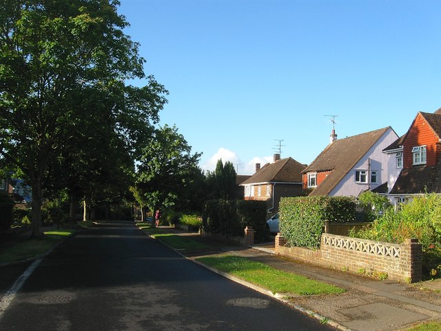
Image: © Simon Carey Taken: 4 Aug 2015
Running in an arc from Newton Road to Brushes Lane and developed sometime between 1955-62 on the site of two former fields called Great Tainter Mead and Upper Tainter Mead according to Lindfield's 1845 tithe map. The word tainter appears to be a corruption of tenter and evidence that a cloth industry was once established here (there is also a Fulling Mill Farm to the north of the village near the river). Cloth from the fulling mill was fixed to frames in an open field called tenters to stretch, dry and straighten the weave. The road name derives from Dukes Barn which was situated on the southern side of the field and commemorated by a set of flats called Dukes Barn Court.
Images are licensed for reuse under creativecommons.org/licenses/by-sa/2.0
Image Location
Latitude
51.012786
Longitude
-0.07763