Lindfield Evangelical Free Church, Chaloner's Road, Lindfield
Introduction
The photograph on this page of Lindfield Evangelical Free Church, Chaloner's Road, Lindfield by Simon Carey as part of the Geograph project.
The Geograph project started in 2005 with the aim of publishing, organising and preserving representative images for every square kilometre of Great Britain, Ireland and the Isle of Man.

There are currently over 7.5m images from over 14,400 individuals and you can help contribute to the project by visiting https://www.geograph.org.uk
Lindfield Evangelical Free Church, Chaloner's Road, Lindfield
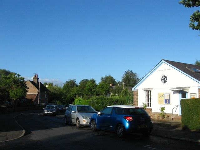
Image: © Simon Carey Taken: 4 Aug 2015
Originally located at Image moving to this building in 1939 where they have been ever since. Part of the County Towns Mission to begin with they changed to their current name in 1980. Chaloner's Road was developed between the wars and runs from Lewes Road to Newton Road.
Images are licensed for reuse under creativecommons.org/licenses/by-sa/2.0
Image Location
Latitude
51.011563
Longitude
-0.079819