East side of Cymer Afan Comprehensive School, Cymmer
Introduction
The photograph on this page of East side of Cymer Afan Comprehensive School, Cymmer by Jaggery as part of the Geograph project.
The Geograph project started in 2005 with the aim of publishing, organising and preserving representative images for every square kilometre of Great Britain, Ireland and the Isle of Man.

There are currently over 7.5m images from over 14,400 individuals and you can help contribute to the project by visiting https://www.geograph.org.uk
East side of Cymer Afan Comprehensive School, Cymmer
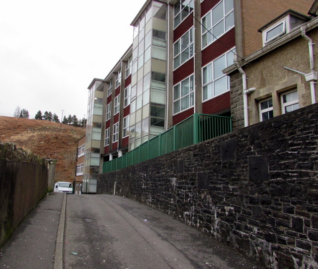
Image: © Jaggery Taken: 18 Feb 2015
The school website states that its catchment area in the NE of Neath Port Talbot County Borough is the upper valley of the River Afan and its main tributary, the River Corrwg.
Images are licensed for reuse under creativecommons.org/licenses/by-sa/2.0
Image Location


Leaflet Map data © OpenStreetMap
Latitude
51.651217
Longitude
-3.647765