Dippertown
Introduction
The photograph on this page of Dippertown by Derek Harper as part of the Geograph project.
The Geograph project started in 2005 with the aim of publishing, organising and preserving representative images for every square kilometre of Great Britain, Ireland and the Isle of Man.

There are currently over 7.5m images from over 14,400 individuals and you can help contribute to the project by visiting https://www.geograph.org.uk
Dippertown
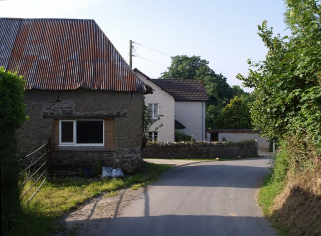
Image: © Derek Harper Taken: 7 Jun 2007
A hamlet north of the Lyd valley. Can dipper be found locally? This view looks along the lane as it passes The Farm, with the corrugations on an iron roof catching the morning sun.
Images are licensed for reuse under creativecommons.org/licenses/by-sa/2.0
Image Location


Leaflet Map data © OpenStreetMap
Latitude
50.641575
Longitude
-4.222769