Covered road sign, Ballyhackamore, Belfast (August 2015)
Introduction
The photograph on this page of Covered road sign, Ballyhackamore, Belfast (August 2015) by Albert Bridge as part of the Geograph project.
The Geograph project started in 2005 with the aim of publishing, organising and preserving representative images for every square kilometre of Great Britain, Ireland and the Isle of Man.

There are currently over 7.5m images from over 14,400 individuals and you can help contribute to the project by visiting https://www.geograph.org.uk
Covered road sign, Ballyhackamore, Belfast (August 2015)
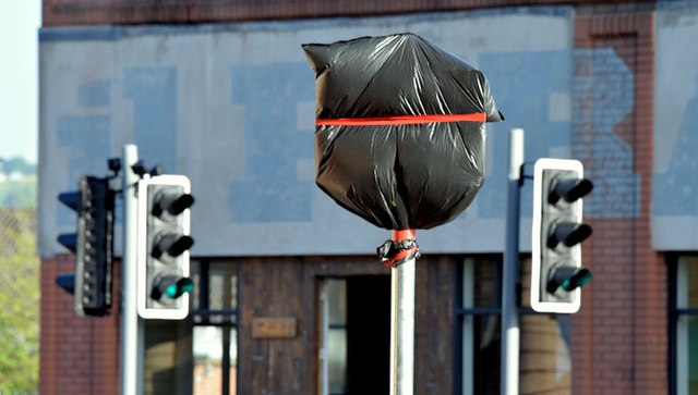
Image: © Albert Bridge Taken: 3 Aug 2015
A new road sign, the identity of which is hidden by plastic sheeting, at the Upper Newtownards Road end of Eastleigh Drive – one of several erected recently.
Images are licensed for reuse under creativecommons.org/licenses/by-sa/2.0
Image Location
Latitude
54.595135
Longitude
-5.866277