Corney Reach
Introduction
The photograph on this page of Corney Reach by Des Blenkinsopp as part of the Geograph project.
The Geograph project started in 2005 with the aim of publishing, organising and preserving representative images for every square kilometre of Great Britain, Ireland and the Isle of Man.

There are currently over 7.5m images from over 14,400 individuals and you can help contribute to the project by visiting https://www.geograph.org.uk
Corney Reach
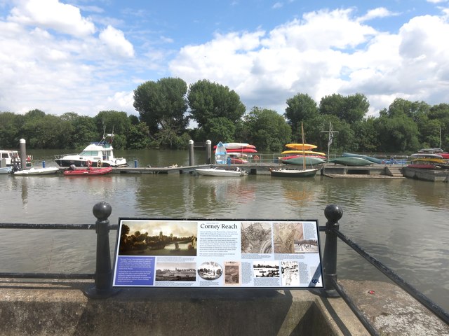
Image: © Des Blenkinsopp Taken: 30 Jul 2015
This section of river is called Corney Reach, a name derived from Cornhithe. There was a mansion called Corney House here at one time. All this and more is on the notice.
Images are licensed for reuse under creativecommons.org/licenses/by-sa/2.0
Image Location
Latitude
51.48259
Longitude
-0.250786