Aberbeeg Weir, Ebbw River
Introduction
The photograph on this page of Aberbeeg Weir, Ebbw River by M J Roscoe as part of the Geograph project.
The Geograph project started in 2005 with the aim of publishing, organising and preserving representative images for every square kilometre of Great Britain, Ireland and the Isle of Man.

There are currently over 7.5m images from over 14,400 individuals and you can help contribute to the project by visiting https://www.geograph.org.uk
Aberbeeg Weir, Ebbw River
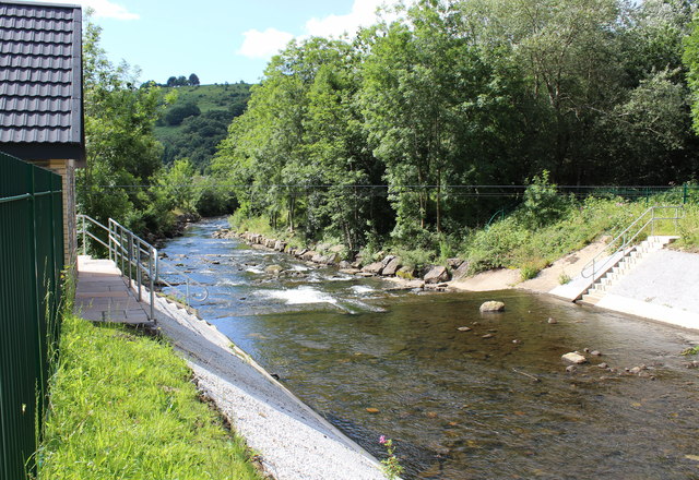
Image: © M J Roscoe Taken: 30 Jul 2015
Looking downstream at weir recently reconstructed to allow passage of salmonids and eels; building on left is new gauging station. Formerly the river here formed a loop to the left (east), but around the middle of the last century the present straight course was engineered.
Images are licensed for reuse under creativecommons.org/licenses/by-sa/2.0
Image Location
Latitude
51.706018
Longitude
-3.145389