Aberbeeg Gauging Station, Ebbw River
Introduction
The photograph on this page of Aberbeeg Gauging Station, Ebbw River by M J Roscoe as part of the Geograph project.
The Geograph project started in 2005 with the aim of publishing, organising and preserving representative images for every square kilometre of Great Britain, Ireland and the Isle of Man.

There are currently over 7.5m images from over 14,400 individuals and you can help contribute to the project by visiting https://www.geograph.org.uk
Aberbeeg Gauging Station, Ebbw River
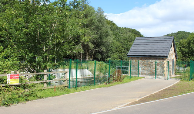
Image: © M J Roscoe Taken: 30 Jul 2015
The building was erected in 2014, following extensive reconstruction of the adjacent weir. The top of the weir can be seen to the left.
Images are licensed for reuse under creativecommons.org/licenses/by-sa/2.0
Image Location
Latitude
51.706199
Longitude
-3.145249