Sloop Lane
Introduction
The photograph on this page of Sloop Lane by Simon Carey as part of the Geograph project.
The Geograph project started in 2005 with the aim of publishing, organising and preserving representative images for every square kilometre of Great Britain, Ireland and the Isle of Man.

There are currently over 7.5m images from over 14,400 individuals and you can help contribute to the project by visiting https://www.geograph.org.uk
Sloop Lane
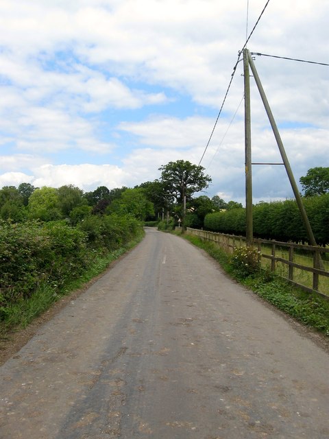
Image: © Simon Carey Taken: 31 Jul 2015
Heading north from Freshfield bridges to Freshfield crossways where the lane becomes Freshfield Lane as it continues on to Danehill. Amongst the foliage to the left is a raised walk for times when the area is flooded though it is very overgrown at present.
Images are licensed for reuse under creativecommons.org/licenses/by-sa/2.0
Image Location
Latitude
51.004207
Longitude
-0.026956