Well Field/Kiln Field
Introduction
The photograph on this page of Well Field/Kiln Field by Simon Carey as part of the Geograph project.
The Geograph project started in 2005 with the aim of publishing, organising and preserving representative images for every square kilometre of Great Britain, Ireland and the Isle of Man.

There are currently over 7.5m images from over 14,400 individuals and you can help contribute to the project by visiting https://www.geograph.org.uk
Well Field/Kiln Field
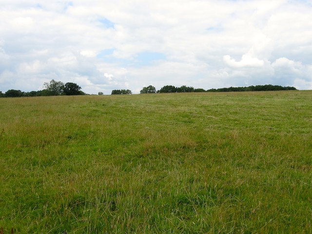
Image: © Simon Carey Taken: 31 Jul 2015
The name of the fields according to Horsted Keynes's 1842 tithe map that have been merged along with Image to the east of the public footpath to form a larger unit. Well Field was to the south whilst Kiln Field was further up the slope adjacent to the Bluebell Railway. To the west is Sloop Lane.
Images are licensed for reuse under creativecommons.org/licenses/by-sa/2.0
Image Location
Latitude
51.007095
Longitude
-0.027546