Springwell Cottages, Butterbox Lane
Introduction
The photograph on this page of Springwell Cottages, Butterbox Lane by Simon Carey as part of the Geograph project.
The Geograph project started in 2005 with the aim of publishing, organising and preserving representative images for every square kilometre of Great Britain, Ireland and the Isle of Man.

There are currently over 7.5m images from over 14,400 individuals and you can help contribute to the project by visiting https://www.geograph.org.uk
Springwell Cottages, Butterbox Lane
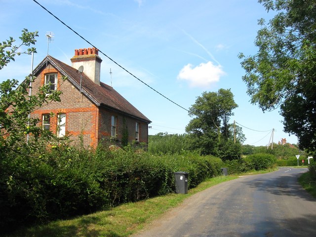
Image: © Simon Carey Taken: 31 Jul 2015
A pair of semi-detached cottage not marked on the 1956 OS map but clearly visible in an aerial photograph taken in 1947. Architecturally they look to have been built around the turn of the century. The junction with Sloop Lane and Nash Lane is visible in the distance.
Images are licensed for reuse under creativecommons.org/licenses/by-sa/2.0
Image Location
Latitude
50.996208
Longitude
-0.027295