Field boundary by Five Barrow Lane
Introduction
The photograph on this page of Field boundary by Five Barrow Lane by Derek Harper as part of the Geograph project.
The Geograph project started in 2005 with the aim of publishing, organising and preserving representative images for every square kilometre of Great Britain, Ireland and the Isle of Man.

There are currently over 7.5m images from over 14,400 individuals and you can help contribute to the project by visiting https://www.geograph.org.uk
Field boundary by Five Barrow Lane
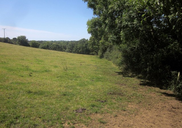
Image: © Derek Harper Taken: 31 Jul 2015
Trees line a field boundary which leads away from the lane to further trees along the line of the former Axminster & Lyme Regis Railway.
Images are licensed for reuse under creativecommons.org/licenses/by-sa/2.0
Image Location
Latitude
50.738241
Longitude
-2.991374