John Morgan Close, Narberth
Introduction
The photograph on this page of John Morgan Close, Narberth by Jaggery as part of the Geograph project.
The Geograph project started in 2005 with the aim of publishing, organising and preserving representative images for every square kilometre of Great Britain, Ireland and the Isle of Man.

There are currently over 7.5m images from over 14,400 individuals and you can help contribute to the project by visiting https://www.geograph.org.uk
John Morgan Close, Narberth
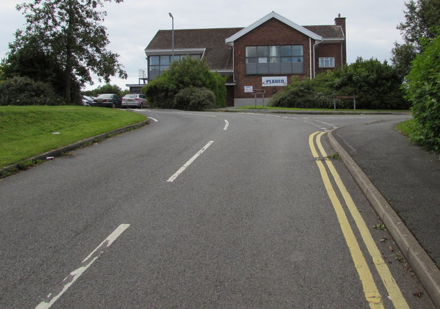
Image: © Jaggery Taken: 31 Jul 2015
From the Station Road junction. Turn right ahead for the residential part http://www.geograph.org.uk/photo/4594237 of the close or left for Swim Narberth http://www.geograph.org.uk/photo/4594263 and businesses in Old School Estate, formerly Narberth County School. The Close is named in memory of John Morgan M.A., the school's first headmaster.
Images are licensed for reuse under creativecommons.org/licenses/by-sa/2.0
Image Location


Leaflet Map data © OpenStreetMap
Latitude
51.79836
Longitude
-4.735672