Rock face near Whitehill
Introduction
The photograph on this page of Rock face near Whitehill by Lairich Rig as part of the Geograph project.
The Geograph project started in 2005 with the aim of publishing, organising and preserving representative images for every square kilometre of Great Britain, Ireland and the Isle of Man.

There are currently over 7.5m images from over 14,400 individuals and you can help contribute to the project by visiting https://www.geograph.org.uk
Rock face near Whitehill
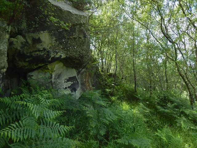
Image: © Lairich Rig Taken: 15 Jul 2015
The rock exposure, shown in the opposite direction in Image, is marked on large-scale mapping. For the nature of the formation (most probably Douglas Muir Quartz-Conglomerate overlying volcaniclastic sediment), see Image
Images are licensed for reuse under creativecommons.org/licenses/by-sa/2.0
Image Location
Latitude
55.934402
Longitude
-4.385015