Rock face near Whitehill
Introduction
The photograph on this page of Rock face near Whitehill by Lairich Rig as part of the Geograph project.
The Geograph project started in 2005 with the aim of publishing, organising and preserving representative images for every square kilometre of Great Britain, Ireland and the Isle of Man.

There are currently over 7.5m images from over 14,400 individuals and you can help contribute to the project by visiting https://www.geograph.org.uk
Rock face near Whitehill
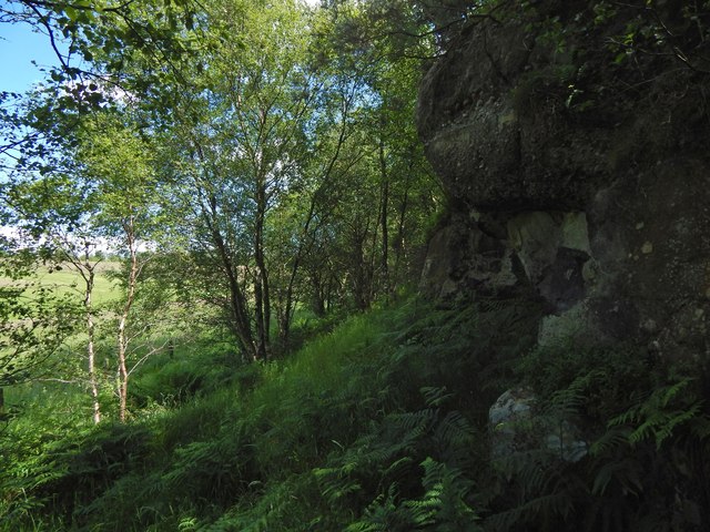
Image: © Lairich Rig Taken: 15 Jul 2015
The formation is at Image, and is shown from the other side in Image It is rather shaded in the present view, but for a closer and better look, and for the probable nature of the formation, see Image As explained there, I take the upper part, a conglomerate with well-rounded quartz pebbles, to be Douglas Muir Quartz-Conglomerate, and the lower parts may be the Kirkwood Formation (volcaniclastic sediments). At the top of the exposure is an antiquity, though not one that is marked on the map: Image It is fortunate that it was not quarried away; there is an Image just a few metres away from it, near the top of the exposure.
Images are licensed for reuse under creativecommons.org/licenses/by-sa/2.0
Image Location


Leaflet Map data © OpenStreetMap
Latitude
55.934684
Longitude
-4.384392