The Street, Washington
Introduction
The photograph on this page of The Street, Washington by Richard Law as part of the Geograph project.
The Geograph project started in 2005 with the aim of publishing, organising and preserving representative images for every square kilometre of Great Britain, Ireland and the Isle of Man.

There are currently over 7.5m images from over 14,400 individuals and you can help contribute to the project by visiting https://www.geograph.org.uk
The Street, Washington
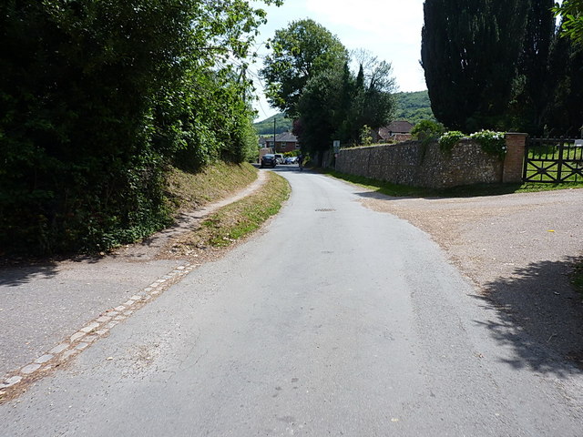
Image: © Richard Law Taken: 18 Jul 2015
Eastwards up The Street, a narrow lane on the west side of the village which accesses the church and Rowdell Farm, forming part of the South Downs Way route. The cyclist just visible in the shade of the wall & trees on the right is a participant in the 2015 British Heart Foundation's organised ride along the full 100-mile length of the South Downs Way. He's delighted to be at the bottom of another 500' climb, and looking forward to aching legs on the way back up onto the ridge.
Images are licensed for reuse under creativecommons.org/licenses/by-sa/2.0
Image Location
Latitude
50.903914
Longitude
-0.408815