New housing, John Williams Close
Introduction
The photograph on this page of New housing, John Williams Close by Stephen Craven as part of the Geograph project.
The Geograph project started in 2005 with the aim of publishing, organising and preserving representative images for every square kilometre of Great Britain, Ireland and the Isle of Man.

There are currently over 7.5m images from over 14,400 individuals and you can help contribute to the project by visiting https://www.geograph.org.uk
New housing, John Williams Close
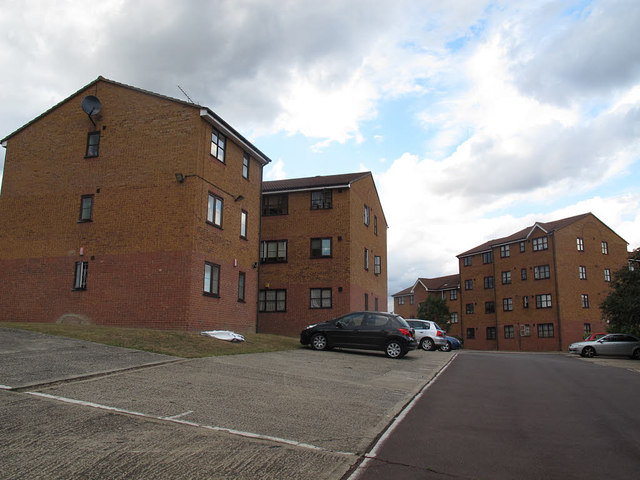
Image: © Stephen Craven Taken: 22 Jul 2015
The nearer block, Thompson House, is roughly on the line of a railway shown on old maps that linked sidings at Deptford Wharf on the Thames to the South London Loop line through Peckham.
Images are licensed for reuse under creativecommons.org/licenses/by-sa/2.0
Image Location
Latitude
51.480859
Longitude
-0.049803