View towards Riddon
Introduction
The photograph on this page of View towards Riddon by jeff collins as part of the Geograph project.
The Geograph project started in 2005 with the aim of publishing, organising and preserving representative images for every square kilometre of Great Britain, Ireland and the Isle of Man.

There are currently over 7.5m images from over 14,400 individuals and you can help contribute to the project by visiting https://www.geograph.org.uk
View towards Riddon
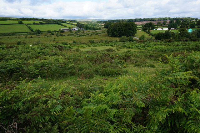
Image: © jeff collins Taken: 29 Jul 2015
Looking Northwest with the farm buildings at Riddon on the left, on the right it looks like a scout summer camp with all the tents set out in an orderly fashion. This is from the Bridleway between Cator Gate and Sherwell.
Images are licensed for reuse under creativecommons.org/licenses/by-sa/2.0
Image Location
Latitude
50.570204
Longitude
-3.867052