Robin Hood Lane, Bexleyheath
Introduction
The photograph on this page of Robin Hood Lane, Bexleyheath by Stephen McKay as part of the Geograph project.
The Geograph project started in 2005 with the aim of publishing, organising and preserving representative images for every square kilometre of Great Britain, Ireland and the Isle of Man.

There are currently over 7.5m images from over 14,400 individuals and you can help contribute to the project by visiting https://www.geograph.org.uk
Robin Hood Lane, Bexleyheath
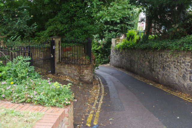
Image: © Stephen McKay Taken: 26 Jul 2015
Robin Hood Lane leads down from Lion Road, adjacent to the Robin Hood & Little John pub, to Upton Road.
Images are licensed for reuse under creativecommons.org/licenses/by-sa/2.0
Image Location
Latitude
51.453898
Longitude
0.135014