Goldhawk Road
Introduction
The photograph on this page of Goldhawk Road by Des Blenkinsopp as part of the Geograph project.
The Geograph project started in 2005 with the aim of publishing, organising and preserving representative images for every square kilometre of Great Britain, Ireland and the Isle of Man.

There are currently over 7.5m images from over 14,400 individuals and you can help contribute to the project by visiting https://www.geograph.org.uk
Goldhawk Road
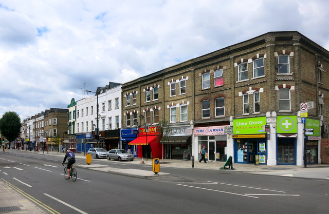
Image: © Des Blenkinsopp Taken: 30 Jul 2015
This is from Wikipedia, with thanks:- "Goldhawk Road's name derives from John Goldhawk, who in the late 14th century held extensive estates in Fulham. Goldhawk Road was of little note until the mid-seventeenth century, when a cottage on the street became the home of Miles Sindercombe, a disgruntled Roundhead who in 1657 made several attempts to assassinate Oliver Cromwell. Sindercombe planned to ambush the Lord Protector using a specially built machine with muskets fixed to a frame. His plan failed, Sindercombe was sentenced to death, and his cottage was eventually demolished in the 1760s." https://en.wikipedia.org/wiki/Goldhawk_Road
Images are licensed for reuse under creativecommons.org/licenses/by-sa/2.0
Image Location
Latitude
51.502211
Longitude
-0.22799