St Augustines Close, Scaynes Hill
Introduction
The photograph on this page of St Augustines Close, Scaynes Hill by Simon Carey as part of the Geograph project.
The Geograph project started in 2005 with the aim of publishing, organising and preserving representative images for every square kilometre of Great Britain, Ireland and the Isle of Man.

There are currently over 7.5m images from over 14,400 individuals and you can help contribute to the project by visiting https://www.geograph.org.uk
St Augustines Close, Scaynes Hill
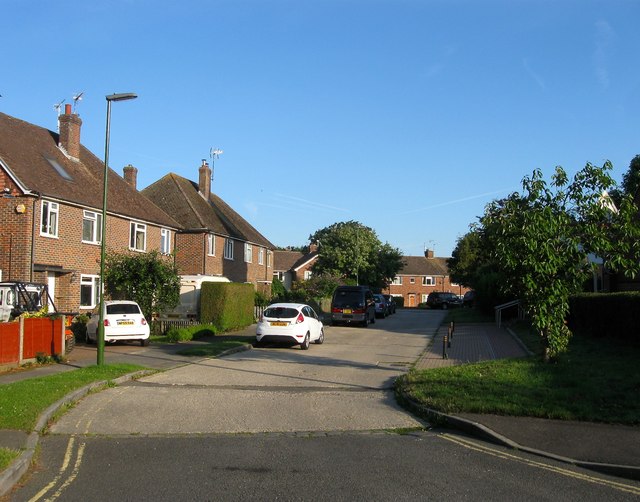
Image: © Simon Carey Taken: 31 Jul 2015
A cul de sac off Church Road that was built during the 1960s. Previously the land had been part of Scaynes Hill Common within a portion enclosed sometime during the early 19th century later becoming an orchard initially owned by the vicar of Image
Images are licensed for reuse under creativecommons.org/licenses/by-sa/2.0
Image Location
Latitude
50.992388
Longitude
-0.05154