Former Falsgrave Board School entrance
Introduction
The photograph on this page of Former Falsgrave Board School entrance by John S Turner as part of the Geograph project.
The Geograph project started in 2005 with the aim of publishing, organising and preserving representative images for every square kilometre of Great Britain, Ireland and the Isle of Man.

There are currently over 7.5m images from over 14,400 individuals and you can help contribute to the project by visiting https://www.geograph.org.uk
Former Falsgrave Board School entrance
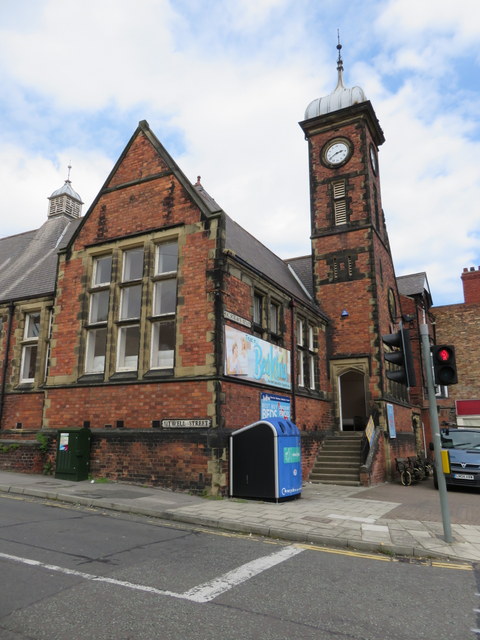
Image: © John S Turner Taken: 30 Jun 2014
Looking across Sitwell Street towards the southern end and entrance to the former Falsgrave Board School. To the left of the blue recycling container there is an Ordnance Survey Flush Bracket set into the brickwork.
Images are licensed for reuse under creativecommons.org/licenses/by-sa/2.0
Image Location
Latitude
54.276769
Longitude
-0.415189