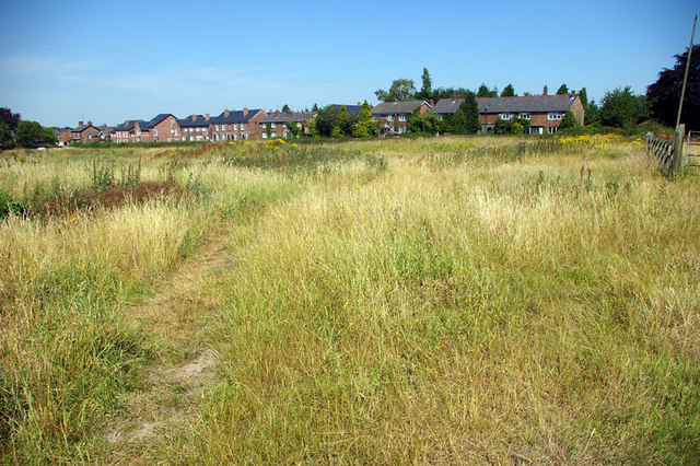
Nature Reserve - Town Lane
Introduction
The photograph on this page of Nature Reserve - Town Lane by Roger Gittins as part of the Geograph project.
The Geograph project started in 2005 with the aim of publishing, organising and preserving representative images for every square kilometre of Great Britain, Ireland and the Isle of Man.
There are currently over 7.5m images from over 14,400 individuals and you can help contribute to the project by visiting https://www.geograph.org.uk

Image: © Roger Gittins Taken: 19 Jul 2006
This area of land has been purchased by Mobberley parishioners so that it can be developed as an open space / nature reserve. Originally formed by sand abstraction parallel to Town Lane in the 1940's the abstraction was increase in the 80's to its present extent. The view point is from Mobberley Footpath No.14 http://www.mobberley.info/Footpaths/html/sw_paths_12.html adjacent to what was Platt's Farm.

