Boundary Road
Introduction
The photograph on this page of Boundary Road by Robin Webster as part of the Geograph project.
The Geograph project started in 2005 with the aim of publishing, organising and preserving representative images for every square kilometre of Great Britain, Ireland and the Isle of Man.

There are currently over 7.5m images from over 14,400 individuals and you can help contribute to the project by visiting https://www.geograph.org.uk
Boundary Road
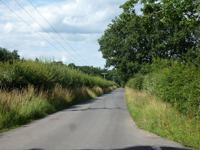
Image: © Robin Webster Taken: 30 Jul 2015
The boundary is between Hampshire and Surrey, although the road is in Surrey with the actual boundary a narrow field width away to the left along the edge of Alice Holt Forest.
Images are licensed for reuse under creativecommons.org/licenses/by-sa/2.0
Image Location
Latitude
51.170554
Longitude
-0.827636