Finsbury Gardens
Introduction
The photograph on this page of Finsbury Gardens by Mike Quinn as part of the Geograph project.
The Geograph project started in 2005 with the aim of publishing, organising and preserving representative images for every square kilometre of Great Britain, Ireland and the Isle of Man.

There are currently over 7.5m images from over 14,400 individuals and you can help contribute to the project by visiting https://www.geograph.org.uk
Finsbury Gardens
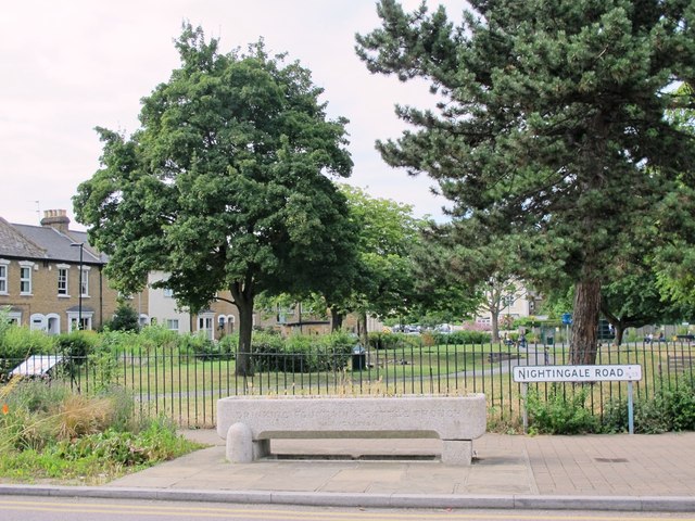
Image: © Mike Quinn Taken: 15 Jul 2015
In the foreground is an example of the work of the Metropolitan Drinking Water Fountain and Cattle Trough Association, which was formed in 1859; it changed its name to include cattle troughs in 1867, to also support animal welfare. For further info, see the Wiki entry https://en.wikipedia.org/wiki/Metropolitan_Drinking_Fountain_and_Cattle_Trough_Association . See also Image The New River runs beneath these gardens, in a 700 yard long tunnel from north of Myddleton Road, emerging south of Park Avenue Image
Images are licensed for reuse under creativecommons.org/licenses/by-sa/2.0
Image Location
Latitude
51.603891
Longitude
-0.11674