Radlett High St., 1956
Introduction
The photograph on this page of Radlett High St., 1956 by Ben Brooksbank as part of the Geograph project.
The Geograph project started in 2005 with the aim of publishing, organising and preserving representative images for every square kilometre of Great Britain, Ireland and the Isle of Man.

There are currently over 7.5m images from over 14,400 individuals and you can help contribute to the project by visiting https://www.geograph.org.uk
Radlett High St., 1956
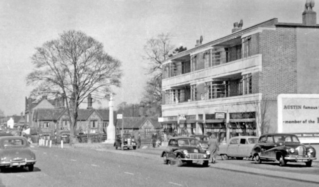
Image: © Ben Brooksbank Taken: 23 Mar 1956
View northward on the A5 (now A5183), near the War Memorial, nearly 60 years ago.
Images are licensed for reuse under creativecommons.org/licenses/by-sa/2.0
Image Location
Latitude
51.683732
Longitude
-0.317399