Carnlough Road
Introduction
The photograph on this page of Carnlough Road by Robert Ashby as part of the Geograph project.
The Geograph project started in 2005 with the aim of publishing, organising and preserving representative images for every square kilometre of Great Britain, Ireland and the Isle of Man.

There are currently over 7.5m images from over 14,400 individuals and you can help contribute to the project by visiting https://www.geograph.org.uk
Carnlough Road
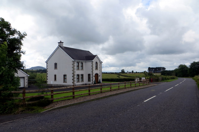
Image: © Robert Ashby Taken: 29 Jul 2015
House on the A42 near The Sheddings. The familiar hump of Slemish can be seen in the background, the eroded core of a 60 million year old volcano, active during the volcanic period which raised the Antrim Plateau and created the Giants Causeway. A bit quieter nowadays.
Images are licensed for reuse under creativecommons.org/licenses/by-sa/2.0
Image Location
Latitude
54.931767
Longitude
-6.06271