Darlington Town Hall
Introduction
The photograph on this page of Darlington Town Hall by Stanley Howe as part of the Geograph project.
The Geograph project started in 2005 with the aim of publishing, organising and preserving representative images for every square kilometre of Great Britain, Ireland and the Isle of Man.

There are currently over 7.5m images from over 14,400 individuals and you can help contribute to the project by visiting https://www.geograph.org.uk
Darlington Town Hall
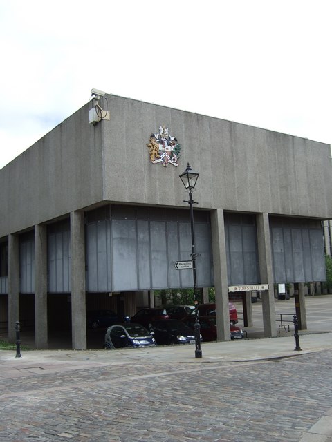
Image: © Stanley Howe Taken: 5 Jun 2007
North wing, with the town crest, at the corner of market place near St Cuthbert's Church. The site was once (certainly prior to and during WW2) the 'Lead Yard' bus station.
Images are licensed for reuse under creativecommons.org/licenses/by-sa/2.0
Image Location
Latitude
54.523974
Longitude
-1.553465