A614 south of Ruston Parva
Introduction
The photograph on this page of A614 south of Ruston Parva by David Smith as part of the Geograph project.
The Geograph project started in 2005 with the aim of publishing, organising and preserving representative images for every square kilometre of Great Britain, Ireland and the Isle of Man.

There are currently over 7.5m images from over 14,400 individuals and you can help contribute to the project by visiting https://www.geograph.org.uk
A614 south of Ruston Parva
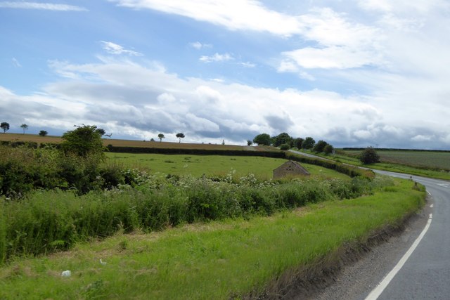
Image: © David Smith Taken: 17 Jun 2015
Amid an expanse of farmland, there is one stone barn by the road (with owl-holes in the gable end)
Images are licensed for reuse under creativecommons.org/licenses/by-sa/2.0
Image Location
Latitude
54.037428
Longitude
-0.36979