The northern end of Douglas Muir Road
Introduction
The photograph on this page of The northern end of Douglas Muir Road by Lairich Rig as part of the Geograph project.
The Geograph project started in 2005 with the aim of publishing, organising and preserving representative images for every square kilometre of Great Britain, Ireland and the Isle of Man.

There are currently over 7.5m images from over 14,400 individuals and you can help contribute to the project by visiting https://www.geograph.org.uk
The northern end of Douglas Muir Road
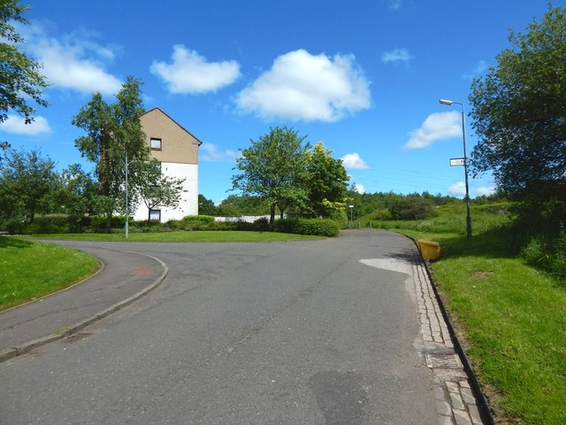
Image: © Lairich Rig Taken: 15 Jul 2015
The Clyde Coastal Path, a core path, follows Image to its northern end, shown here, and continues on the same line, as a made path, whose beginning can be seen ahead: Image Field Road branches off to the left here.
Images are licensed for reuse under creativecommons.org/licenses/by-sa/2.0
Image Location
Latitude
55.931846
Longitude
-4.387099