#21-26 Fieldfare, sheltered housing
Introduction
The photograph on this page of #21-26 Fieldfare, sheltered housing by Roger Templeman as part of the Geograph project.
The Geograph project started in 2005 with the aim of publishing, organising and preserving representative images for every square kilometre of Great Britain, Ireland and the Isle of Man.

There are currently over 7.5m images from over 14,400 individuals and you can help contribute to the project by visiting https://www.geograph.org.uk
#21-26 Fieldfare, sheltered housing
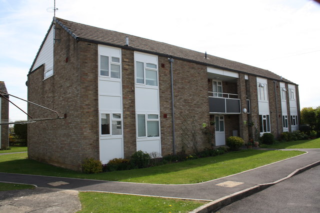
Image: © Roger Templeman Taken: 17 Apr 2015
There was an Ordnance Survey benchmark (see http://www.bench-marks.org.uk/bm56141 ) on the far end of the block, but this face has been rendered
Images are licensed for reuse under creativecommons.org/licenses/by-sa/2.0
Image Location
Latitude
51.564206
Longitude
-1.734072