Upstream Burn of Boyndie
Introduction
The photograph on this page of Upstream Burn of Boyndie by Stanley Howe as part of the Geograph project.
The Geograph project started in 2005 with the aim of publishing, organising and preserving representative images for every square kilometre of Great Britain, Ireland and the Isle of Man.

There are currently over 7.5m images from over 14,400 individuals and you can help contribute to the project by visiting https://www.geograph.org.uk
Upstream Burn of Boyndie
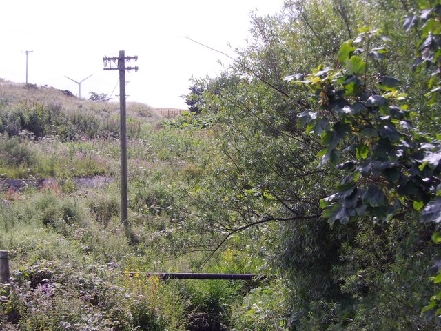
Image: © Stanley Howe Taken: 23 Jul 2015
From Boyndie Bridge; the water flow almost choked by summer vegetative growth.
Images are licensed for reuse under creativecommons.org/licenses/by-sa/2.0
Image Location
Latitude
57.668246
Longitude
-2.558017