Footpath to Lower Hardres
Introduction
The photograph on this page of Footpath to Lower Hardres by Glyn Baker as part of the Geograph project.
The Geograph project started in 2005 with the aim of publishing, organising and preserving representative images for every square kilometre of Great Britain, Ireland and the Isle of Man.

There are currently over 7.5m images from over 14,400 individuals and you can help contribute to the project by visiting https://www.geograph.org.uk
Footpath to Lower Hardres
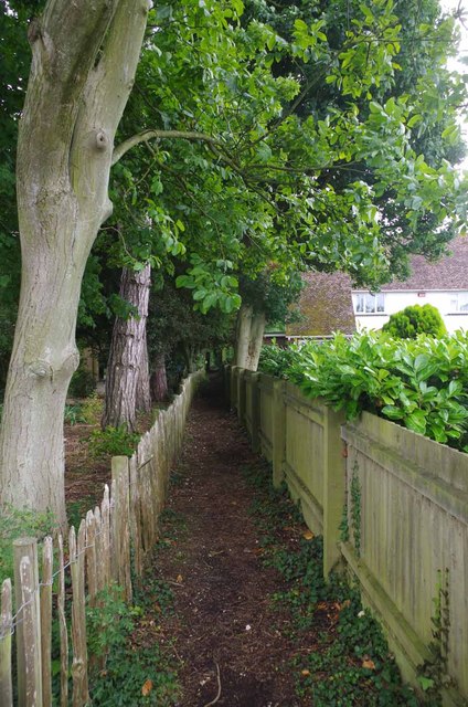
Image: © Glyn Baker Taken: 25 Jul 2015
The right of way passes between two gardens
Images are licensed for reuse under creativecommons.org/licenses/by-sa/2.0
Image Location
Latitude
51.244311
Longitude
1.081205