Ragwort near Sandgates
Introduction
The photograph on this page of Ragwort near Sandgates by Alan Hunt as part of the Geograph project.
The Geograph project started in 2005 with the aim of publishing, organising and preserving representative images for every square kilometre of Great Britain, Ireland and the Isle of Man.

There are currently over 7.5m images from over 14,400 individuals and you can help contribute to the project by visiting https://www.geograph.org.uk
Ragwort near Sandgates
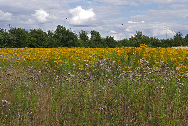
Image: © Alan Hunt Taken: 28 Jul 2015
The overgrown field to the west of the M25 near the Sandgates area of Chertsey. The M25 runs behind the trees on the edge of the field.
Images are licensed for reuse under creativecommons.org/licenses/by-sa/2.0
Image Location
Latitude
51.381218
Longitude
-0.516045