Bank reinforcement, Ffordd Dysgu, Maesteg
Introduction
The photograph on this page of Bank reinforcement, Ffordd Dysgu, Maesteg by Jaggery as part of the Geograph project.
The Geograph project started in 2005 with the aim of publishing, organising and preserving representative images for every square kilometre of Great Britain, Ireland and the Isle of Man.

There are currently over 7.5m images from over 14,400 individuals and you can help contribute to the project by visiting https://www.geograph.org.uk
Bank reinforcement, Ffordd Dysgu, Maesteg
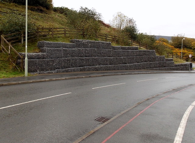
Image: © Jaggery Taken: 30 Oct 2014
Rows of stones held in place by wire meshing extend for 35 metres along a bank above Ffordd Dysgu, towards the corner of Crown Road.
Images are licensed for reuse under creativecommons.org/licenses/by-sa/2.0
Image Location
Latitude
51.609381
Longitude
-3.649426