High Wycombe: Marlow Hill bus stops
Introduction
The photograph on this page of High Wycombe: Marlow Hill bus stops by Nigel Cox as part of the Geograph project.
The Geograph project started in 2005 with the aim of publishing, organising and preserving representative images for every square kilometre of Great Britain, Ireland and the Isle of Man.

There are currently over 7.5m images from over 14,400 individuals and you can help contribute to the project by visiting https://www.geograph.org.uk
High Wycombe: Marlow Hill bus stops
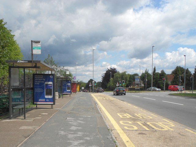
Image: © Nigel Cox Taken: 25 Jul 2015
These are mostly schools bus stops, but one public route, Purple 36, goes down Marlow Hill from here to High Wycombe town centre.
Images are licensed for reuse under creativecommons.org/licenses/by-sa/2.0
Image Location
Latitude
51.618579
Longitude
-0.76153