Path to Milldam Road
Introduction
The photograph on this page of Path to Milldam Road by Lairich Rig as part of the Geograph project.
The Geograph project started in 2005 with the aim of publishing, organising and preserving representative images for every square kilometre of Great Britain, Ireland and the Isle of Man.

There are currently over 7.5m images from over 14,400 individuals and you can help contribute to the project by visiting https://www.geograph.org.uk
Path to Milldam Road
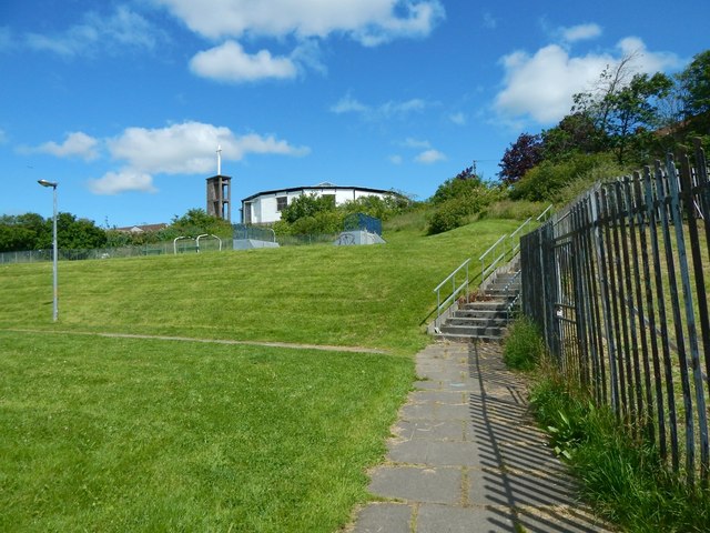
Image: © Lairich Rig Taken: 15 Jul 2015
The path leads up from Lennox Drive, then turns left, towards Milldam Road. The rear of Faifley Parish Church can be seen ahead.
Images are licensed for reuse under creativecommons.org/licenses/by-sa/2.0
Image Location
Latitude
55.928099
Longitude
-4.399516