
Knaphill Plantation
Introduction
The photograph on this page of Knaphill Plantation by Derek Harper as part of the Geograph project.
The Geograph project started in 2005 with the aim of publishing, organising and preserving representative images for every square kilometre of Great Britain, Ireland and the Isle of Man.

There are currently over 7.5m images from over 14,400 individuals and you can help contribute to the project by visiting https://www.geograph.org.uk
Knaphill Plantation
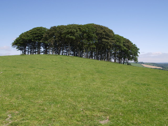
Image: © Derek Harper Taken: 7 Jun 2007
This is the clump of trees seen from the A30 in Image This view is from a lane near Cookworthy. "Knaphill Plantation" on the map, but http://www.bbc.co.uk/news/uk-england-40485543 calls it "Cookworthy Knapp": "The copse of 140 beech trees stands proudly atop a hillside to the south of the A30 at Lifton on the approach to Cornwall from Devon. Local historians believe the trees were planted in about 1900, either as a landscape feature to mark the northern edge of the Lifton Park Estate, or as cover for pheasants."
Images are licensed for reuse under creativecommons.org/licenses/by-sa/2.0
Image Location

Latitude
50.664704
Longitude
-4.26872