Vintens Tip
Introduction
The photograph on this page of Vintens Tip by Simon Carey as part of the Geograph project.
The Geograph project started in 2005 with the aim of publishing, organising and preserving representative images for every square kilometre of Great Britain, Ireland and the Isle of Man.

There are currently over 7.5m images from over 14,400 individuals and you can help contribute to the project by visiting https://www.geograph.org.uk
Vintens Tip
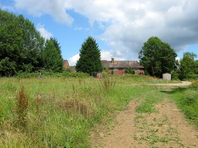
Image: © Simon Carey Taken: 25 Jul 2015
Currently an area of waste located to the north of Image and Image and named after the former nursery that stood in the former. Should housing be built in the former then this area is proposed to be turned into a publicly accessible green space. The footpath from Kemps Farm runs through here on its way to Oldlands Avenue.
Images are licensed for reuse under creativecommons.org/licenses/by-sa/2.0
Image Location
Latitude
51.054346
Longitude
-0.133842