Oakamoor Village Centre
Introduction
The photograph on this page of Oakamoor Village Centre by Mike Bardill as part of the Geograph project.
The Geograph project started in 2005 with the aim of publishing, organising and preserving representative images for every square kilometre of Great Britain, Ireland and the Isle of Man.

There are currently over 7.5m images from over 14,400 individuals and you can help contribute to the project by visiting https://www.geograph.org.uk
Oakamoor Village Centre
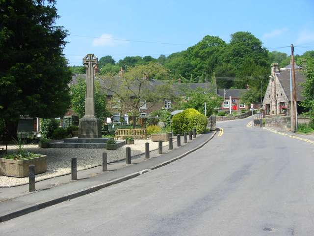
Image: © Mike Bardill Taken: 7 Jun 2007
Oakamoor lies in a steep wooded valley in the Staffordshire moorlands. At one time it was served by both a canal and a railway. The canal has long since gone but the railway track bed still exists. To the south the track is now a pleasant multi-user trail to Alton. To the northwest it connects to the Churnet Valley preserved railway with the prospect that one day the line might be extended once more into Oakamoor.
Images are licensed for reuse under creativecommons.org/licenses/by-sa/2.0
Image Location
Latitude
53.001842
Longitude
-1.920089