Alwinton and the Upper Coquet valley
Introduction
The photograph on this page of Alwinton and the Upper Coquet valley by John Watson as part of the Geograph project.
The Geograph project started in 2005 with the aim of publishing, organising and preserving representative images for every square kilometre of Great Britain, Ireland and the Isle of Man.

There are currently over 7.5m images from over 14,400 individuals and you can help contribute to the project by visiting https://www.geograph.org.uk
Alwinton and the Upper Coquet valley
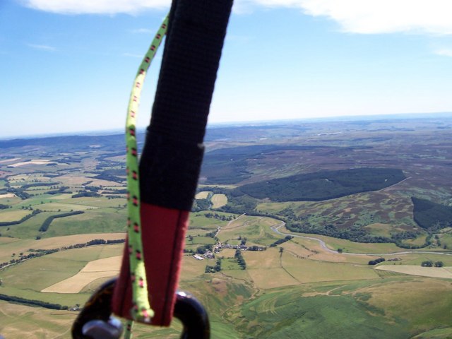
Image: © John Watson Taken: 16 Jul 2006
A nice flight on my paraglider (sorry about the carabiner), Alwinton is just above the carabiner.
Images are licensed for reuse under creativecommons.org/licenses/by-sa/2.0
Image Location
Latitude
55.350656
Longitude
-2.127709