Berrynarbor / Henstridge junction
Introduction
The photograph on this page of Berrynarbor / Henstridge junction by Roger Gittins as part of the Geograph project.
The Geograph project started in 2005 with the aim of publishing, organising and preserving representative images for every square kilometre of Great Britain, Ireland and the Isle of Man.

There are currently over 7.5m images from over 14,400 individuals and you can help contribute to the project by visiting https://www.geograph.org.uk
Berrynarbor / Henstridge junction
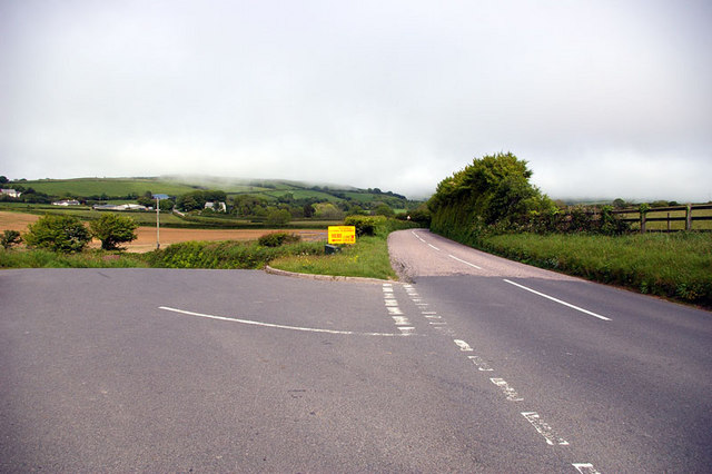
Image: © Roger Gittins Taken: 23 May 2007
The road to the left leads to Berrynarbor (1¾ miles) and ahead Henstridge (½ mile) and Combe Martin (2½ mile). The sign advertises a National Scramble on June 6th, 2007.
Images are licensed for reuse under creativecommons.org/licenses/by-sa/2.0
Image Location


Leaflet Map data © OpenStreetMap
Latitude
51.181117
Longitude
-4.039868