Broken Bridge
Introduction
The photograph on this page of Broken Bridge by Anne Burgess as part of the Geograph project.
The Geograph project started in 2005 with the aim of publishing, organising and preserving representative images for every square kilometre of Great Britain, Ireland and the Isle of Man.

There are currently over 7.5m images from over 14,400 individuals and you can help contribute to the project by visiting https://www.geograph.org.uk
Broken Bridge
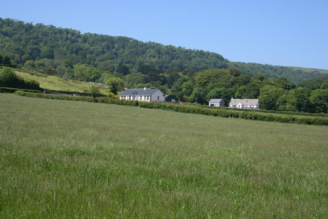
Image: © Anne Burgess Taken: 7 Jun 2007
New houses among the fields north of Carnlough. I don't know the significance of the name Broken Bridge, but that's what the map says.
Images are licensed for reuse under creativecommons.org/licenses/by-sa/2.0
Image Location
Latitude
55.018777
Longitude
-5.982366