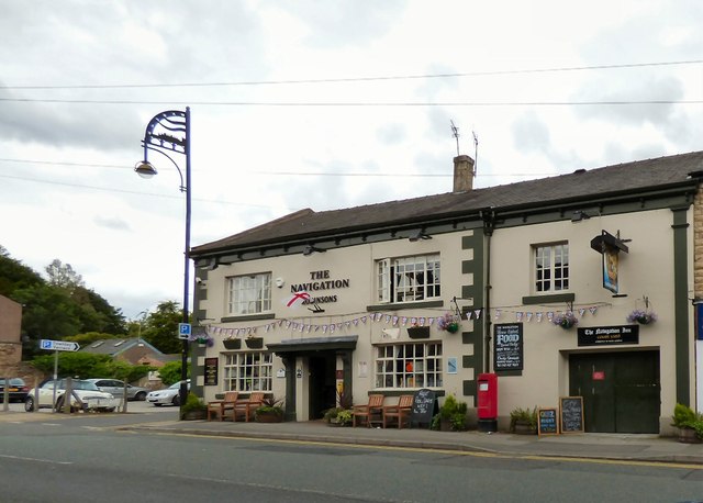
The Navigation
Introduction
The photograph on this page of The Navigation by Gerald England as part of the Geograph project.
The Geograph project started in 2005 with the aim of publishing, organising and preserving representative images for every square kilometre of Great Britain, Ireland and the Isle of Man.
There are currently over 7.5m images from over 14,400 individuals and you can help contribute to the project by visiting https://www.geograph.org.uk

Image: © Gerald England Taken: 23 Jul 2015
The Navigation dates from around 1790 being built to serve the navvies or Navigation Engineers that built the Peak Forest Navigation, known today as the Peak Forest Canal. It stands close to clock #13, one of 16 Locks that raise the canal by more than 200 feet over about 1 mile in length. It is claimed that in order to get the locks finished quickly and for his boats to be the first to use the canal, Samuel Oldknow, a local mill owner gave the navvies possets, a milk drink curdled with Ale and often spiced, supplied by the Navigation Pub, as an incentive to work harder. The bridge next to the Navigation is known as Posset Bridge. It is currently owned by Robinsons Brewery. Image

