The Dulax
Introduction
The photograph on this page of The Dulax by Alan O'Dowd as part of the Geograph project.
The Geograph project started in 2005 with the aim of publishing, organising and preserving representative images for every square kilometre of Great Britain, Ireland and the Isle of Man.

There are currently over 7.5m images from over 14,400 individuals and you can help contribute to the project by visiting https://www.geograph.org.uk
The Dulax
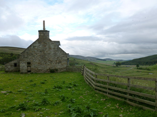
Image: © Alan O'Dowd Taken: 19 Jul 2015
A ruined farm steading in Glenbuchat. The gable of the farmhouse has a cheese press built into it. The name Dulax probably derives from the Gaelic 'dubh leac' which means 'black slope.'
Images are licensed for reuse under creativecommons.org/licenses/by-sa/2.0
Image Location
Latitude
57.248359
Longitude
-3.074674