Rigfoot Farm from the air
Introduction
The photograph on this page of Rigfoot Farm from the air by Thomas Nugent as part of the Geograph project.
The Geograph project started in 2005 with the aim of publishing, organising and preserving representative images for every square kilometre of Great Britain, Ireland and the Isle of Man.

There are currently over 7.5m images from over 14,400 individuals and you can help contribute to the project by visiting https://www.geograph.org.uk
Rigfoot Farm from the air
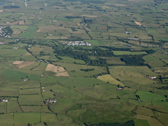
Image: © Thomas Nugent Taken: 19 Jul 2015
Caldwell golf club and McLaren's Nursery are also visible.
Images are licensed for reuse under creativecommons.org/licenses/by-sa/2.0
Image Location
Latitude
55.766469
Longitude
-4.5439