Nutty Coppice Farm
Introduction
The photograph on this page of Nutty Coppice Farm by Graham Horn as part of the Geograph project.
The Geograph project started in 2005 with the aim of publishing, organising and preserving representative images for every square kilometre of Great Britain, Ireland and the Isle of Man.

There are currently over 7.5m images from over 14,400 individuals and you can help contribute to the project by visiting https://www.geograph.org.uk
Nutty Coppice Farm
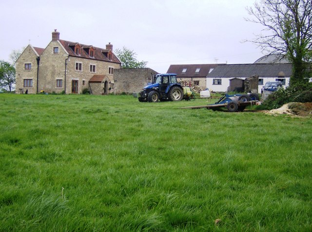
Image: © Graham Horn Taken: 4 May 2007
The stone farmhouse looks relatively new. Being on a slight rise, it has a fine view northwards (left) towards Trudoxhill and Frome.
Images are licensed for reuse under creativecommons.org/licenses/by-sa/2.0
Image Location


Leaflet Map data © OpenStreetMap
Latitude
51.185863
Longitude
-2.356506