Laskill Pasture Moor
Introduction
The photograph on this page of Laskill Pasture Moor by Mick Garratt as part of the Geograph project.
The Geograph project started in 2005 with the aim of publishing, organising and preserving representative images for every square kilometre of Great Britain, Ireland and the Isle of Man.

There are currently over 7.5m images from over 14,400 individuals and you can help contribute to the project by visiting https://www.geograph.org.uk
Laskill Pasture Moor
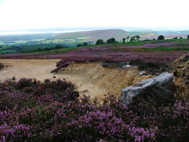
Image: © Mick Garratt Taken: 29 Aug 2005
I reckon the location of this recent pit, dug to upgrade the access roads onto the moors is SE580920. This is looking WSW towards Carr Cote farm (just visible in the lines of trees). In the distance is Easterside Hill.
Images are licensed for reuse under creativecommons.org/licenses/by-sa/2.0
Image Location


Leaflet Map data © OpenStreetMap
Latitude
54.31586
Longitude
-1.117614